Elevation: 1,258 ft (overall) 1,347 ft (total)
Time: (with a 4 and 9 year old setting the pace) 1:53 (Summit) 3:41 (Total)
Trails: Black Mountain Trail
Our daughters wanted to do a family with all of us together so I went to the NH 52 With a View List and picked a peak none of us had done. This list is full of peaks below 4K feet and they have have views from the top (as the name implies). With our youngest daughter being 4 years old, I needed to pick a peak small enough that she would be able to hike it. Black Mountain looked like it would be short enough and have a gradual enough incline that she would be just fine. This was the case and it turned out to be a great hike that hikers of all ages and abilities should be able to do.
The hike starts off at a small parking lot by following a woods road. After a little bit of hiking you will come to a fork in the road where you will want to go to the left. There is a sign with an arrow it that helps to let you know which way to go. After a little bit more hiking, the road will be blocked with large rocks to keep any on/off road vehicles from going any further. The path gets just a little bit steeper here, but still is quite gentle by White Mountain standards. At the end of this last bit of woods road is a very small brook crossing (step over really) and an opening in the trees. The trail bears to the left in this opening and enters back into the woods becoming more like an actual hiking trail than a road.
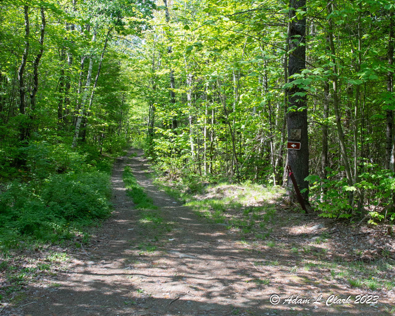
Take a left at the fork in the roads

The nice wide trail after the clearing
Now that the trail is off the road it gets a bit narrower, more rocky, and a bit steeper. It still stays pretty gentle with good footing. As it gets closer to the summit, the trail does get as narrow as most trails in the whites and has a brief steeper section. I was ahead with my 9 year old while my wife was just behind with our 4 year old. My 9 year old wanted to race up ahead and try to get to the summit by a certain time for a game she was playing by herself. Both of our daughters were able to handle this section quite well as I would expect most hikers could.

Painted Trillium along the trail
This mountain has two trails that lead up to the summit and they both meet at an intersection within about 100 feet of the summit. At this intersection we turned left and went straight up through the trees. There is a direct path to the top or a more gradual path further to the left. As soon as you pop up onto the summit, you are presented with the nice view to the east which includes Mt. Moosilauke. There are some areas around the summit to explore as well. If you go to the left over the open rocks you get to another more limitied view that looks over towards the Cannon Mountain and Franconia Notch area. A small path leads to the right as well that heads over to a nice open area that gives even more views including to the west and south.

View of Mt. Moosilauke from the summit

View point on the southern side of the summit

Family photo from the more limited view point on the north side of the summit

The view towards Franconia Notch
After ample time at the summit to soak up the sun, rest, and have some tasty snacks we explored all the open areas around the summit to check out the views. By checking out all of the areas we were able to gets lots of views in almost every direction. Views to the south and east were best, but there are some good views west too withe limitied views to the north. The girls loved exploring the area and running around on the exposed rocks. Once we had explored everything, the kids took the lead in our hike back down to our car. The trail was easy to follow so they had no issues being in the lead and setting the pace.

The girls leading the way down the mountain
As you get further down the trail it gets smoother, wider, and more flat. It is pretty easy to follow and if you came up this way, you should have no problem making it back down the same way. I picked this trail for climbing the mountain based mostly on how well I thought my daughters would be able to do on it. Our youngest has only done one other hike on the 52 With a View list and I didn't want to pick anything too big or difficult for her. Both routes looked good for this peak, but I choose to come up from this side in large part because it was slightly longer and it would give me just a bit more distance for redlining this year which is something I am planing to focus on more this year with my hikes. While I think the old kilns near the other trail for this peak would be fun to check out, I wasn't sure everyone would have the focus needed today to do the hike and explore other things. I wanted to make sure the hike went well so I choose not to have the distraction of the kilns. Eventually I will need to hike that trail for redlinging as well, and we could go check them out at that time. Doing the hike this way ended up working out very well with everyone doing fine and having a good time.

The brook crossing starting back onto woods roads

Star Flower along the trail

Google Earth representation of the hike
For all the pictures from the hike, just go HERE
No comments:
Post a Comment